NSW State Forests make summer getaways simple with free, pet‑friendly camping from the coast to the high country.
State Forests offer the perfect summer escape for nature lovers where you can enjoy the great outdoors without worrying about crowds, booking fees and pet accommodation.
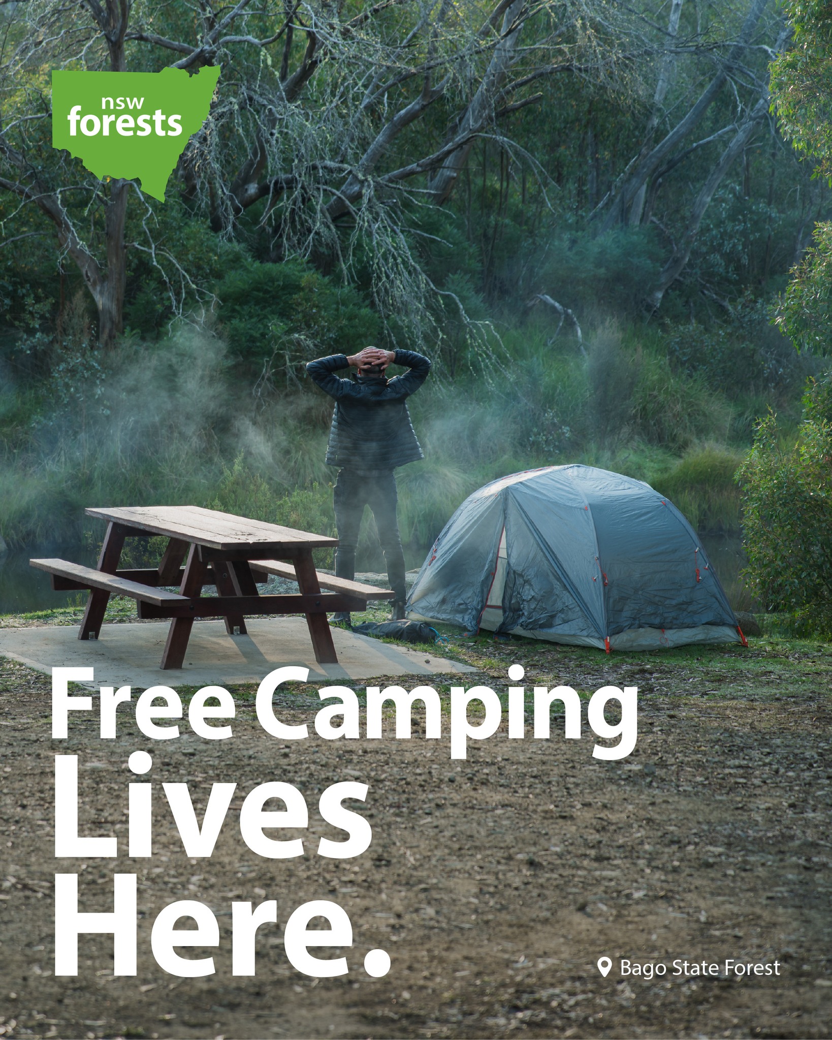
NSW has almost 500 State Forests spread across every corner of the state and many offer camping facilities where dogs, under their owner’s control, are welcome and campfires are permitted, outside of fire bans.
“State forests are a fabulous resource for the community – they are free to use, offer an array of facilities and ‘back to nature’ camping. Visitors can even bring their family dog along to join the holiday,” Manager Tourism and Partnerships Louise Faulkner said.
“We love seeing people enjoying an ‘unplugged’ experience in State Forests. All we ask is that people respect these special, natural environments, so that visitors can keep on enjoying them year on year.”
To assist campers researching the best campsites on offer, Forestry Corporation has put together a guide that lists the pick of State Forest campgrounds, with GPS locations and a list of what facilities are available.
Among the most popular family and dog-friendly campgrounds are Mogo State Forest, Blowering Dam, Bago and Tumut State forests in southern NSW; Strickland, Chichester and Heaton State forests in central NSW and Coopernook, Wild Cattle Creek and Styx River State Forests in the state’s north.
Forestry Corporation reminds campers to check for forest and road closures before setting out and to stay up to date with fire bans on the RFS website.
With the start of the Bushfire Danger Period, solid fuel fire bans are currently in place across southern NSW, western NSW and Riverina State forests.
Campfires are prohibited in these forests and campers are urged to use gas appliances.
To find out more about Forestry Corporation go to www.forestrycorporation.com.au
Here is the ultimate guide to pet-friendly, free campsites in NSW State Forests.
Bago State Forest - Bago Sculpture Forest - Paddy’s River Dam – Paling Yards - Blowering Dam Foreshores - Pilot Hill Arboretum – Sugar Pines.
Location: Foreshore Rd, Blowering GPS: -35.540476°, 148.260035°
Belanglo State Forest - Dalys Clearing.
Location: Dalys Rd, Belanglo State Forest, GPS: -34.527643°, 150.241341°
Bodalla State Forest - Bodalla Forest Rest Area, Kianga Rainforest Walk, Wagonga Scenic Drive. Location: Bodalla Park Rd,
GPS: -36.151320°, 150.095116°
Boonoo State Forest - Basket Swamp visitor area – Basket Swamp Falls
Location: Boonoo State Forest, GPS:-28.910180°, 152.153782°
Campbells Island State Forest – Campbells Island
Location: Murrabit VIC GPS:-35.51140856981758, 143.94973744837247
Chichester State Forest - Allyn River Forest Rest Area – Ladies Well - Pademelon – Old Camp - White Rock – Location: Allyn River Rd, Upper Allyn GPS:-32.155619°, 151.488603° NB: Peach Tree and Mount Allyn are currently closed.
Chichester State Forest - Telegherry Forest Park - Frying Pan Creek - Currawong Camping Area - Coachwood Camping Area.
Location: Middle Ridge Rd, Upper Karuah River GPS: -32.221114°, 151.745442°
Coopernook State Forest - Coopernook Forest Headquarters
Location: Bangalow Rd, Coopernook, New South Wales
GPS: -31.788881°, 152.608581°
Dog Rocks State Forest - Campbells River
Location: Swallows Nest Rd, Mount David, GPS: -33.785820°, 149.609451°
East Boyd State Forest -Scrubby Creek Rest Area
Location:Princes Highway, GPS: -37.222069°, 149.830303°
Ellangowan State Forest - Braemar Roadside Rest Area
Location: Summerland Way, Rappville, GPS:-29.088060°, 153.001973°
Girard State Forest - Crooked Creek Picnic Area
Location:Crooked Creek Fire Trail, Sandy Hill, GPS:-28.926982°, 152.312500°
Hampton State Forest - Millionth Acre Recreation Area
Location:Duckmaloi Rd, Hampton, GPS:-33.676944°, 150.050272°
Heaton State Forest - Watagan HQ - Heaton Forest Park – Heaton Lookout – McLeans Lookout – Hunter Lookout
Location: Watagan Forest Rd, Olney, New South Wales GPS:-32.975802°, 151.412148°
Kerewong State Forest - Longworth’s Tramline – Swans Crossing
Location: Swans Crossing, GPS: -31.608745°, 152.581787°
Koondrook State Forest - Murray River
GPS: -35.66800670000439, 144.246664668354
Mount Boss State Forest - Wild Bull Camping Area - Cobrabald – The Bluff
Location: Cobrabald Rd, Kippara, GPS: -31.245876°, 152.513164°
Nalbaugh State Forest - Nalbaugh Falls
GPS: -31.23992690611348, 146.91757958395064
Olney State Forest - The Basin Campgrounds - Abbotts Falls – Rock Lily – The Pines Picnic Area – The Pines, Casuarina and Turpentine Campgrounds – Old Mill
Location: Basin Forest Rd, Olney, GPS: -33.104476°, 151.230474°
Perricoota State Forest -Perricoota State Forest Bush Camping
Location: Freemans Rd, Womboota, GPS: -35.940171°, 144.479270°
Stewarts Brook State Forest - Moonan Outlook – The Firs
Location: Stewarts Brook NSW 2337, GPS: -31.93137288282747, 151.36193641023226
Styx River State Forest - Wattle Flat Picnic Area – Wattle Flat Camping Area
Location: Boundary Rd, Armidale Region, GPS: -30.584152°, 152.200199°
Sunny Corner State Forest – Sunny Corner Arboretum – Sunny Corner
Location: Sunny Corner Road, Sunny Corner, GPS: -33.387867°, 149.892964°
Urbenville State Forest -Urbenville Forest Park.
Location: Clarence Way, Urbenville, GPS: -28.468365°, 152.548682°
Vittoria State Forest - Macquarie Woods Rec Area
Location: Cashens Lane, Vittoria, GPS: -33.408018°, 149.312622°
Vulcan State Forest - Shooters Hill - Black Springs
Location: Riverview Forest Road, GPS: -33.886148°, 149.845463°
Wild Cattle Creek State Forest - Mobong Creek
Location: Moses Creek Rd, GPS: -30.218611°, 152.779190°
Wingello State Forest - Wingello HQ Camp
Location: Caroua Road Wingello, GPS: -34.715833°, 150.189104°
Yadboro State Forest - Yadboro Flat
Location: Yadboro State Forest, GPS: -35.340331°, 150.217275°
Yambulla State Forest - Newtons Crossing Camp
Location: Allan Brook Rd, Yambulla, GPS: -37.267390°, 149.674800°
Media enquiries