
Stakeholder engagement policy
We aim to understand what is important to stakeholders, develop and maintain working relationships and build trust and support as a forest manager.
We recognise the positive contribution stakeholders make to forest management and strive to provide opportunities for effective, culturally appropriate, meaningful, and timely engagement.
We aim to understand what is important to stakeholders, develop and maintain working relationships and build trust and support as a forest manager.

We recognise that there are a variety of community and stakeholder views and are committed to engaging honestly and transparently.

Our Forest Management Plans summarise our operations and regulatory framework and set out how we deliver ecologically sustainable forest management.
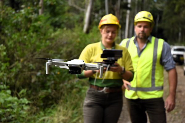
We manage two million hectares of forests and carry out a wide variety of activities. We recognise that stakeholders make a positive contribution to forest management and actively engage with a range of stakeholders every day.
Our stakeholder engagement guidelines and our Forest Management Plans provide further detail on how we engage.
We work to continuously improve both our forest management and stakeholder engagement and welcome questions and feedback from stakeholders and community members. We invite you to contact us on 1300 655 687 or email info@fcnsw.com.au.
Our dedicated Aboriginal Partnerships Team works to foster positive partnerships with local Aboriginal communities and we also implement specific operational guidelines for Aboriginal cultural heritage management. More about Aboriginal Partnerships.
Based on stakeholder feedback, we are continuously improving information available about our operations.
Access our Plan Portal for information about upcoming operations and harvest plans for coastal native and hardwood plantation forests.
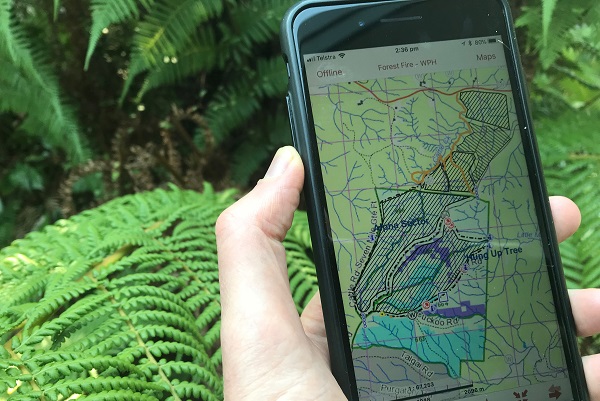
View detailed maps and data about current operations under the Coastal Integrated Forestry Operations Approval.

Our interactive guide steps through the process of planning a native forestry operation using maps and spatial data.