Virtual visitor centre
Check out our virtual visitor centre to get all the tips and advice you need for a safe and enjoyable trip.
Access to Barrington Tops State Forest is via Gloucester or Scone. The Manning River runs through the forest.
Forests in this area have been harvested for timber for many decades – some for over 150 years. The forests you see today are regrowth forests which means they have been harvested many times over and grown back.
Today's forest management practices protect biodiversity, soil and water quality and cultural heritage sites while also allowing for sustainable timber production.
Find out more about sustainable forest management.
Find out about alerts and closures that may affect access via nearby National Parks.
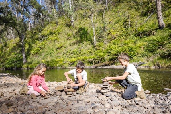
On the banks of the Manning River, this stunning camping and picnic area is popular with four-wheel-drive enthusiasts and freshwater fisherman. It's nestled in cool highland forests and is perfect for a peaceful mountain getaway..
The Manning River camping and picnic areas were upgraded in 2017, with the new site now located next to Henry’s Bridge on Pheasants Creek Road.
To help protect catchment/stream health, please take all rubbish with you when you leave.
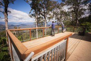
Cobark Lookout is on the eastern edge of Barrington Tops State Forest, and provides beautiful views looking south. A great first stop to enjoy breathtaking views and get your bearings before travelling across the Tops.
Check out our virtual visitor centre to get all the tips and advice you need for a safe and enjoyable trip.

Avoid disappointment and check for current closures and notices before setting out.

Leave only footprints, take only memories. Find out how to minimise the impact of your visit.

The most important part of your trip is arriving home safely. Make sure you read our information on forest tips and staying safe.
Some State forests are declared for authorised hunting. Find out more about authorised hunting in State forests, including licensing and applying for permits.

This area is designated as ‘high public usage’ under Forestry Corporation of NSW’s Pesticide Use Notification Plan [PDF 3.83 MB].
Want to connect with us on social media? Please follow our channels below for the latest updates on tourism, recreation and industry news.


