How to use the State forest fossicking map
MinView is a free online map that lets anyone easily view, search and download detailed geology, mining, exploration and land information for New South Wales.
You can use MinView to see where you can (and can't) fossick on NSW State forests.
Fossicking on State forests needs an authorisation (permit). You can purchase a statewide annual licence on our website here.
How to find State forest areas are available for fossicking
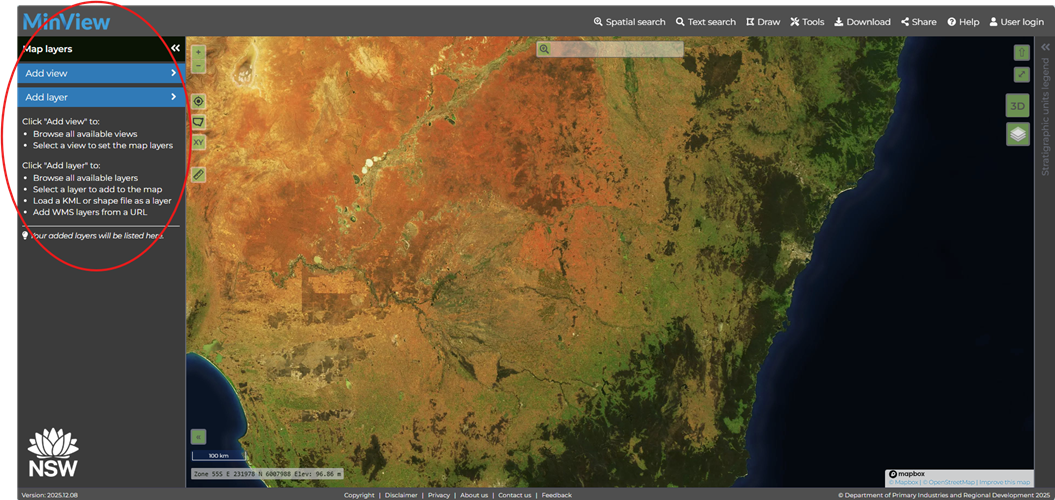
1. To add and view information, go to the left-hand menu:
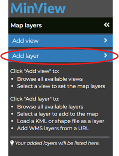
2. Click on Add layer
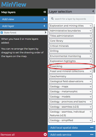
3. This will bring up a menu of information (layers) to add to the screen, click on Fossicking.
4. Click on the plus (+) button to add the three layers/information shown below.
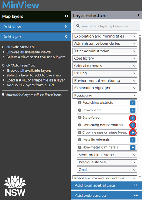
Open MinView with these three layers already selected.
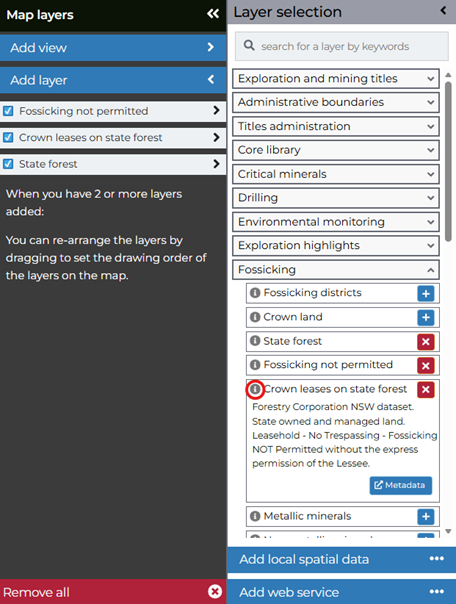
5. Clicking on the ‘i’ button will provide information about the layer.
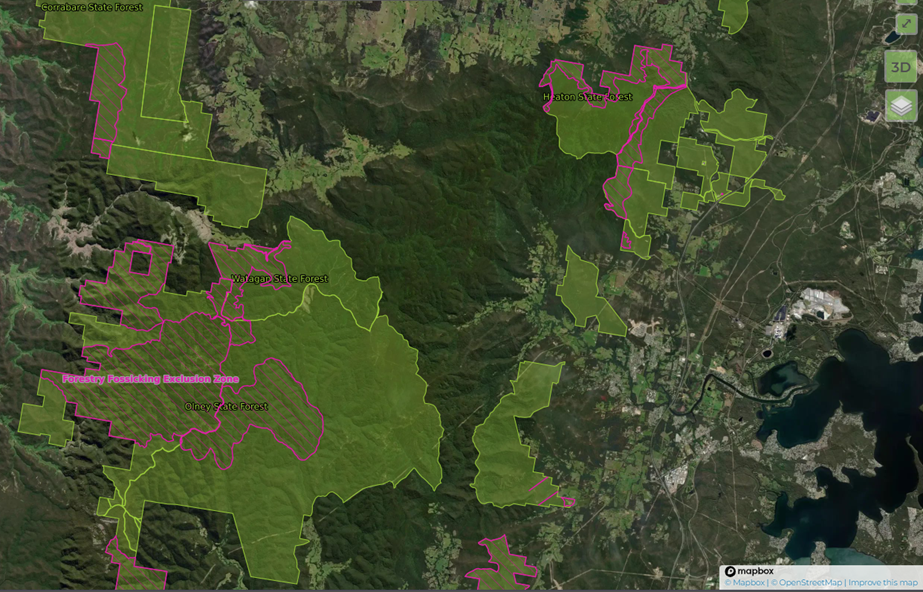
6. The map will show State forest in bright green and excluded areas in pink. Example below:
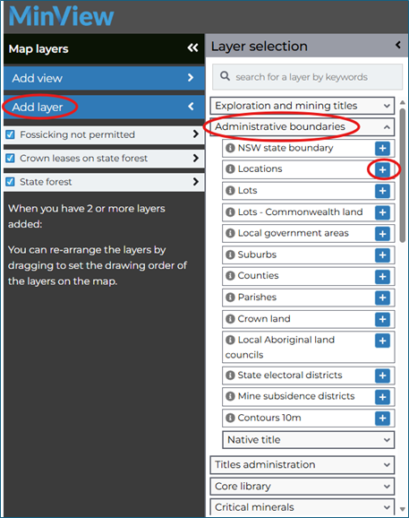
7. To add towns to the map, click Add layer, then Administrative boundaries. Click the plus (+) button for Locations
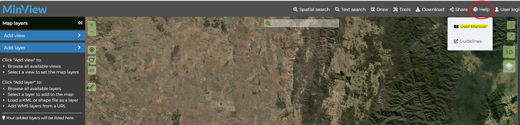
8. For further instructions on how to use MinView, see the ‘User Manual’ under the Help menu on the top right.
Access the User Manual directly.