Strickland State Forest
Strickland State Forest is a special place and a living exhibition of exceptionally diverse forest habitats:
- wildflowers and dry heath woodland in the north
- tall eucalypts on its slopes
- through to lush rainforest in the south.
This much-loved State forest is located on the Central Coast of NSW, less than an hour's drive north of Sydney, south of Newcastle, or a 10-minute drive west of Gosford.
Strickland State Forest is considered a unique ecotourism destination. For a relatively 'compact' State forest of just five square kilometres, Strickland State Forest contains an impressive variety of flora and fauna species, with 350 plants, 98 birds, 29 reptiles, 27 mammals, 20 amphibians and 4 fish species recorded to date.
Strickland State Forest has been inducted into the Hunter Central Coast Tourism Awards Hall of Fame after winning the Gold Award for Ecotourism three years in a row — 2011, 2012 and 2013. Strickland State Forest was also awarded silver ecotourism at the NSW Tourism Awards in both 2013 and 2014.
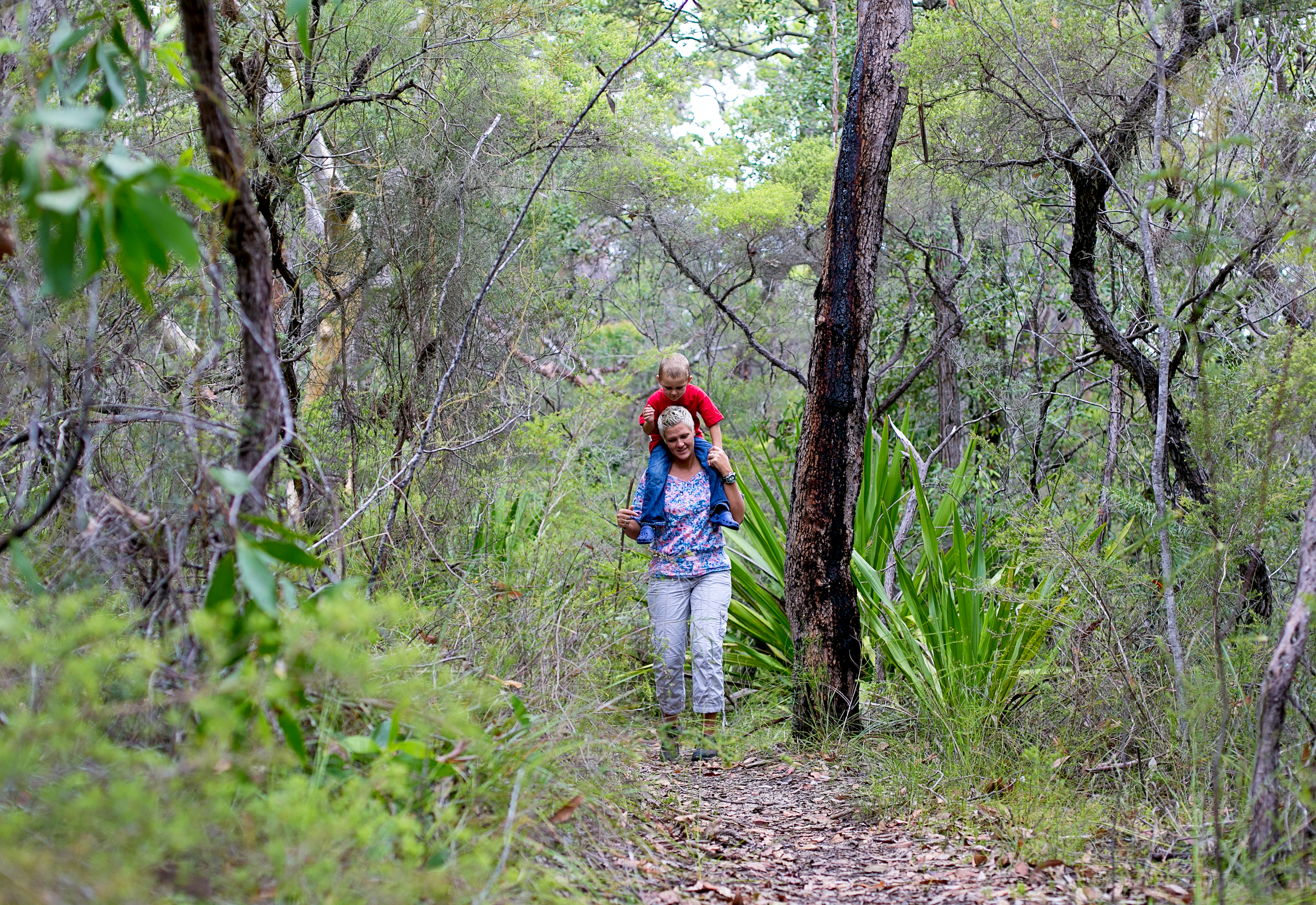
Strickland has extensive walking tracks through varying forest types; past waterfalls, under cabbage tree palms and along creeks. These tracks were built and maintained by the volunteer group Friends of Strickland in partnership with Forestry Corporation of NSW.
The forest has excellent picnic facilities including an all-weather shelter, picnic tables and toilets.
Strickland State Forest was the site of the first government forest nursery (1886-1890) and first national forestry training school (1920 – 1927). Remnants of native and exotic tree plantings established during those times (known as an arboretum) are now among the oldest in Australia and can be seen on the Arboretum Track.
Strickland State Forest is a gated forest and so is for day-use only. It is open from dawn to dusk.
- Strickland State Forest Map [152 KB PDF]
How to get there:
Travelling from Sydney (approx 1 hour)
- Head North on the F3 Freeway for approx 51km
- Take the Peats Ridge Road Exit, merge onto Peats Ridge Road and drive for 1.3km
- Take the exit towards Somersby/Gosford, staying in the right lane and following the signs to Wisemans Ferry Road/Wisemans Ferry
- Turn RIGHT onto Wisemans Ferry Road, drive for 800m
- Turn RIGHT onto Dog Trap Road (the RSL is on your left at this intersection), drive for 4.8km
- Turn RIGHT onto Mangrove Road. This takes you over the F3. Drive for 270m
- Turn RIGHT onto Strickland Forest Road
- Welcome to Strickland State Forest!
Travelling from Newcastle (approx 1 hour)
- Head South on the F3 Freeway for approx 60km
- Veer left and take the Ourimbah/Palmdale exit
- At the roundabout turn LEFT onto the Pacific Highway
- Drive and at the second set of lights, turn RIGHT onto Dog Trap Road (the RSL is on your left at this intersection), drive for 4.8km
- Turn LEFT onto Mangrove Road. Drive for 270m
- Take the first RIGHT onto Strickland Forest Road
- Welcome to Strickland State Forest!
Visitor facilities
Arboretum Track
![]()
2.3 km loop, easy grade
Follow the track from the carpark down towards Stoney Creek. Cross the creek and continue to one of Australia's oldest arboretum's dating back to 1887-1924, featuring giant Australian Red Cedar, Bunya and Hoop Pines. If you want to extend your walk, the Bellbird Track is a 1.3km loop
off the Arboretum Track – starting near the creek and rejoining the Arboretum Track past the suspension bridge.
Please be aware that Bunya Pine produce large cones the size of footballs which, whilst spectacular in appearance, may cause injury. Please exercise caution and be mindful of falling pine cones during the January to March period.
Banksia Picnic Area
![]()
![]()
![]()
![]()
![]()
Banksia Picnic Area is a delightful spot set amongst contrasting colours of grey gums, pink smooth-barked apples and banksias. It is also the starting point for three walking tracks:
- Cabbage Tree Track
- Stoney Creek Track
- Strickland Falls Track.
Set high on the ridge, picnickers can enjoy views into Gosford and Brisbane Waters. A 10 minute drive from Gosford. Entry via Mangrove Road, Narara, or Dog Trap Road, Ourimbah.
Bellbird Track
![]()
1.3 km loop track, easy grade
Bellbird Track is a loop walk off the Arboretum Track, following Narara Creek and meandering through rainforest. Bellbird and Arboretum Track combined is a total distance of 3.3kms.
Cabbage Tree Track
![]()
1.6 km loop track, medium grade
Starting from Banksia Picnic Area, this track heads downhill through rocky outcrops. Follow the northern slopes of the ridge through dry forest types to a large grove of Cabbage Palms. As you head back up
towards Banksia Picnic Area, pretty ferns give way to rocky ridges. You can choose to join Stoney Creek Track, which takes you to the lower Stoney Creek Carpark where other walks commence.
Ridge to Rainforest Track

2.1 km one way, medium grade
Starting near the entry road to Banksia Picnic Area, the track gradually descends through dry forest types along the ridge into tall, moist forest and gully rainforest along the creek. Mossy rocks, statuesque trees and a planted grove of Hoop Pine are featured along the track, which was hand built over a 10 year period by the Friends of Strickland volunteer group.
Stoney Creek Track
![]()
1 km link track, or when combined with Cabbage Tree Track loop, 3.6k m return, medium grade
Stoney Creek Track is the link between Banksia Picnic Area and the lower Carpark. From the carpark follow the track down towards the Creek and here the track leads off to the right, heading upstream of Stoney Creek.
Experience gully rainforest along picturesque rocky creeks, before walking up into masses of Cabbage Palms and joining Cabbage Tree Track.
Strickland Falls Track
![]()
1.6km loop track, medium grade
The track starts from the small carpark near Banksia Picnic Area. Experience diverse plant communities ranging from wildflower-rich heath on ridge tops, to tall eucalypts on slopes and creeks lined with lush
rainforest.
Descending to the fall, you will notice the change in humidity, temperature and size of trees. Spectacular cliffs, mossy rocks, ferns, palms, tall, moist eucalypt forest and gully rainforest are features of this walk.
This track was proudly completed by the Friends of Strickland in 2003.
Public programs
Find out about the Friends of Strickland volunteer program.
Find out about school excursions at Strickland State forest.
Organised events and activities
A Special Purpose Permit is required for organised events and activities in State forests.
Join the conversation
![]()
![]()
![]()
![]()
![]()
Maps
Staying Safe
- Important information when visiting state forests
- Call '000' in a bushfire emergency (www.rfs.nsw.gov.au)
- Total Fire Ban and Current Fire Danger Map (www.rfs.nsw.gov.au)
- Signs in State Forests
- Solid Fuel Fire Bans
Useful information
Authorised hunting
Some State forests are declared for authorised hunting. Find out more about authorised hunting in State forests, including licensing and applying for permits.
Pesticide use This area is designated as ‘high public usage’ under Forestry Corporation of NSW’s Pesticide Use Notification Plan [PDF 3.83 MB].
Visit sustainably
Find out how to minimise the impact of your visit.